CAD programme for land surveyors.
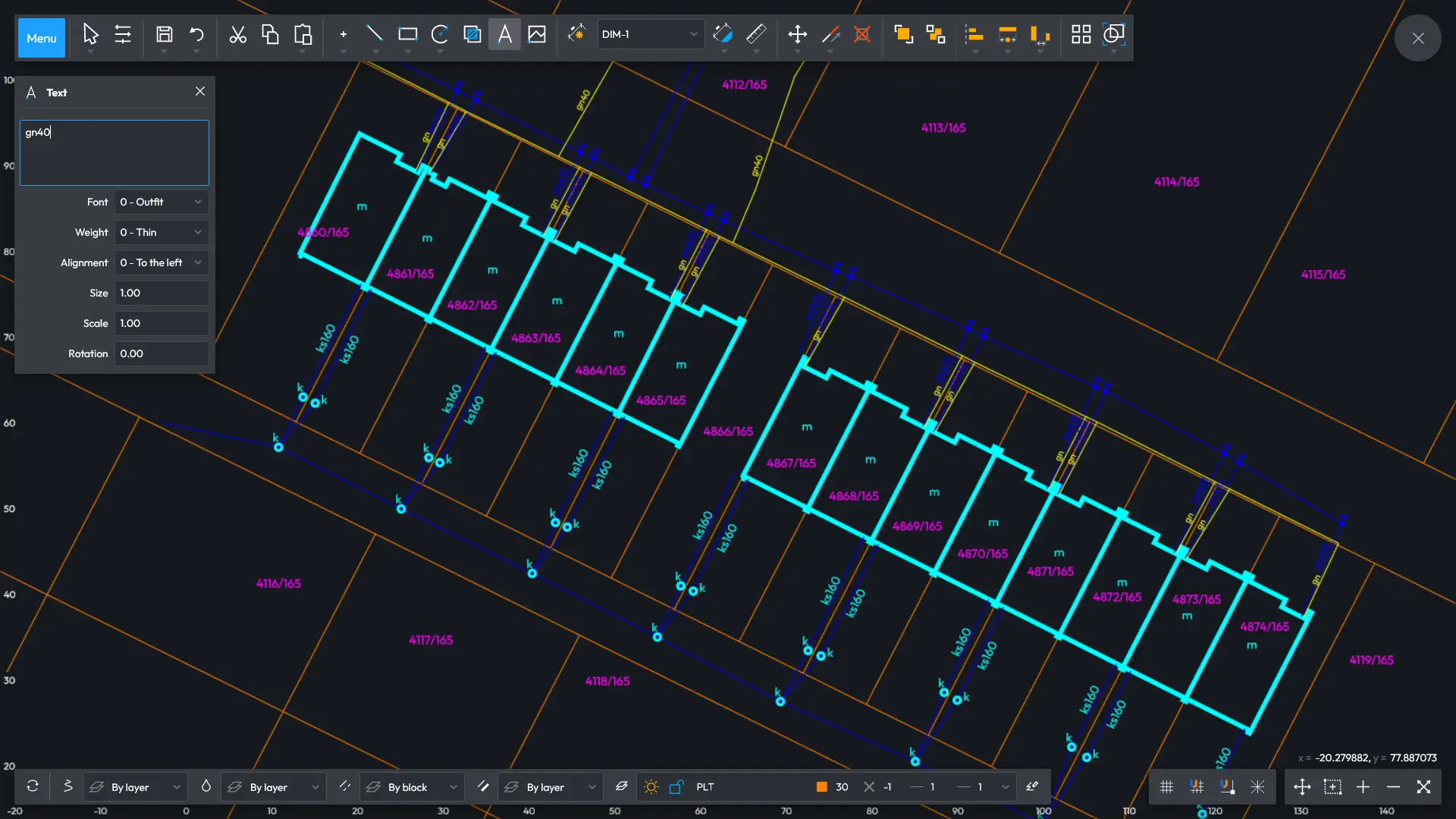
The programme supports several file formats, including DXF, enabling the opening of digital maps, making changes and sharing files.
Save either all or part of the map to any third-party programme and compile professional land surveying documentation.
Enjoy the feature for printing a selected part of the map at any scale, whatever the angle.
Do your designing on high-quality raster maps.
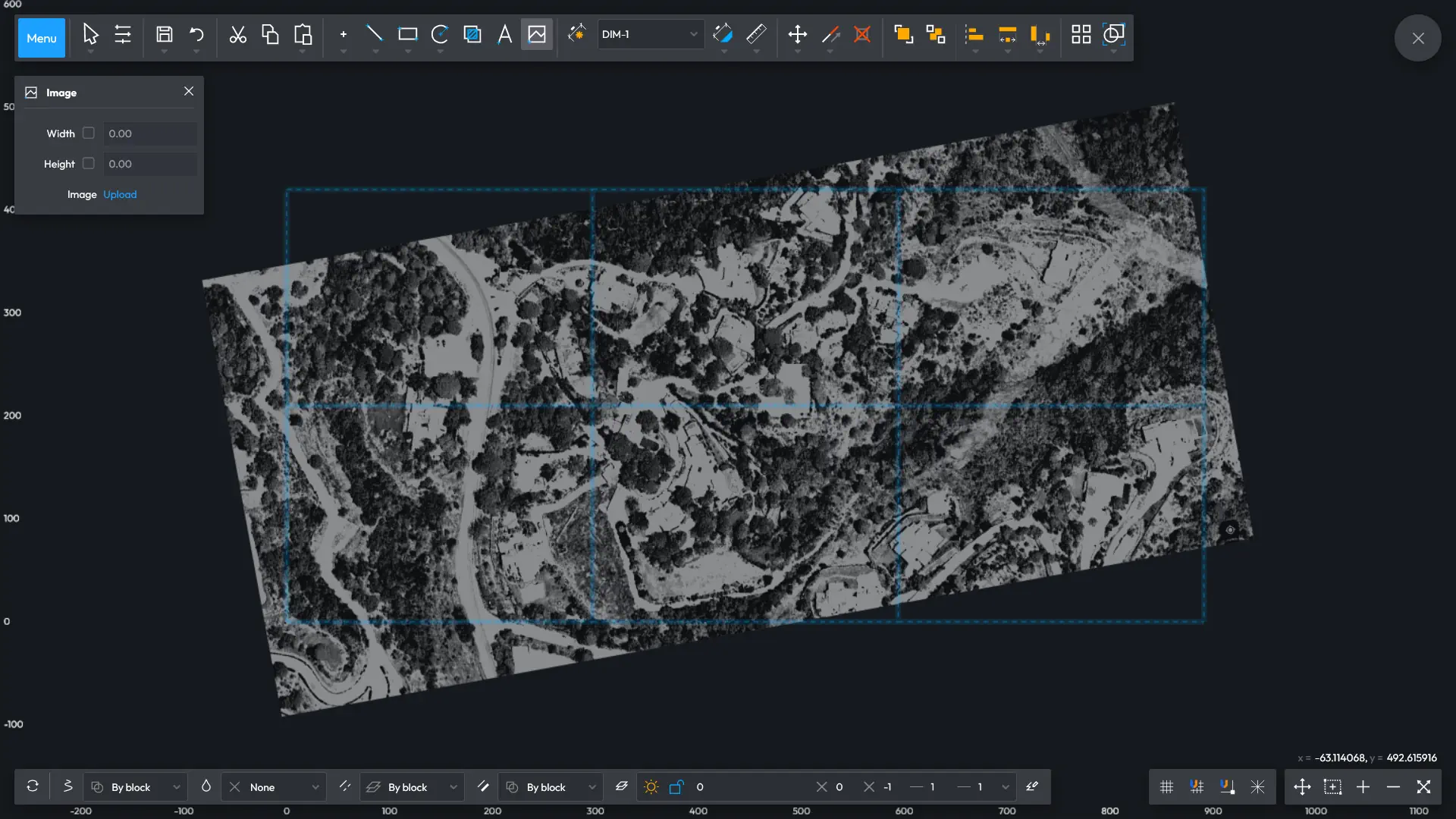
Insert your map scans and apply them in designing road traffic management. The inserted raster map can be scaled or rotated as desired.
Import vector map in DXF format. Thus imported underlay can be modified as needed, e.g. by removing or concealing unwanted layers.